



Property Plat Research Service
Before you build, fence, split, sell, or argue with your neighbor about that tree, you need to know exactly what your property plat says. Not what Zillow thinks. Not what the fence installer assumed. The actual recorded plat.
We handle property plat research so you get the official subdivision maps, recorded documents, lot dimensions, easements, and restrictions tied to your parcel. No guessing. No squinting at 40-year-old PDFs. No wandering into a boundary dispute boss fight unarmed.
What You Get (Without the Runaround)
You’re not paying for a Google search. You’re paying for clarity pulled from the right places, verified, and handed to you in plain English.
Property Plat & Subdivision Map Retrieval
Official recorded plat documents tied to your lot and subdivision.
Lot Dimensions & Configuration Review
Clear breakdown of lot size, boundaries, setbacks, and recorded layout.
Easement & Right-of-Way Identification
Utility easements, drainage areas, access strips — the invisible stuff that can block your plans.
Recorded Restrictions & Notes
Plat notes, dedications, and limitations that can affect development.
Fast Turnaround, Organized Delivery
You get the documents and a clean summary of what matters.
If you need clarity before building, buying, dividing, or disputing, this is where it starts. Reach out and we’ll pull the file.
Who This Is For
Property Owners Planning Improvements
Adding a pool, building a garage, installing a fence, or expanding a driveway sounds simple — until you discover a utility easement cutting through your backyard like a surprise plot twist.
Property plat research shows where you can actually build. It confirms boundaries, reveals setbacks, and flags any recorded restrictions tied to the subdivision. It’s much easier to adjust plans on paper than after concrete is poured.
If you’re investing in improvements, knowing the layout isn’t optional. It’s risk management.
Buyers Doing Due Diligence
Square footage in a listing doesn’t tell you where the lot ends. It doesn’t show shared access points or drainage corridors. And it definitely doesn’t explain that odd-shaped corner you assumed was usable.
Before closing, plat research provides clarity on what you’re actually buying. It confirms lot dimensions, subdivision details, and recorded conditions attached to the parcel.
In short, it replaces assumptions with documentation.
Contractors & Design Professionals
Architects, engineers, and contractors need accurate boundary and subdivision information before submitting plans or preparing site layouts. Guessing leads to revisions. Revisions lead to delays. Delays lead to everyone staring at each other in meetings.
We provide the recorded plat documentation and relevant details so your design starts from verified data, not a rough sketch pulled from memory.
It’s cleaner. Faster. Less dramatic.
Investors & Developers
If you’re evaluating a property for redevelopment, lot split potential, or resale strategy, the plat tells you what’s legally established. Lot size, configuration, subdivision notes, and recorded dedications all matter when you’re calculating feasibility.
You can’t optimize a deal if you don’t know the recorded boundaries. This is the foundational layer before entitlement, permitting, or subdivision work begins.
What a Property Plat Actually Shows
A recorded property plat is the official subdivision map filed with the local jurisdiction. It shows how land was divided, how lots are laid out, and what was legally established at the time of recording.
It typically includes lot numbers, dimensions, bearings, easements, rights-of-way, and subdivision notes. It may also identify drainage tracts, common areas, and dedications to the city or county.
This is not the same as a survey. A survey reflects on-the-ground measurements at a specific time. A plat reflects the legally recorded subdivision layout. Both are important — but they serve different purposes.
Understanding the distinction prevents confusion later.
Why Plat Research Matters Before You Build
Most project problems don’t start with construction. They start with missing information.
You plan a structure inside what looks like your yard, only to learn part of it sits within a recorded utility easement. Or you assume you can access the rear of your property, only to discover no recorded ingress exists.
Plat research surfaces these constraints early. It identifies the recorded framework your property operates within.
That means fewer surprises during permitting, fewer redesigns, and fewer conversations that start with “Wait, what do you mean we can’t build there?”
Our Research Process
We start by identifying the correct parcel and subdivision records tied to your property. That includes verifying lot and block information, subdivision name, and recording references.
From there, we retrieve the official recorded plat documents from the appropriate jurisdictional records. We review the documents for lot dimensions, easements, dedications, and notes that could affect use or development.
Finally, we organize the information and deliver both the source documents and a clear summary of what matters for your situation.
No speculation. No interpretation gymnastics. Just the recorded facts, presented clearly.
When Plat Research Is Not Enough
Sometimes a plat answers everything. Sometimes it raises the next question.
If boundary accuracy is critical — for example, in a dispute or before installing permanent improvements near a lot line — a licensed survey may be required. A plat shows the recorded layout, but it does not confirm current field conditions.
If you need additional services such as surveys, lot splits, or permit coordination, we can point you in the right direction and coordinate as needed.
Plat research is often the first checkpoint. Not always the last.
Start With the Map
Before you build on it, buy it, divide it, or argue about it, understand it.
Property plat research gives you the official blueprint of how your land was recorded and divided. It’s the foundation layer that prevents expensive assumptions.
If you need clarity on your lot, subdivision, or recorded easements, we’ll pull the file and lay it out cleanly so you can move forward with confidence.
Check Out Our Other Services
Recent Articles
The Environmental Impact of Desalination: Intake, Brine, Energy and How Permits Address Each
The Environmental Impact of Desalination: Intake, Brine, Energy and How Permits Address Each By Sean Alford, Permitting Plus Desalination, making fresh water from salt water,
Brackish Water Desalination: Turning Salty Groundwater Into Supply
Brackish Water Desalination: Turning Salty Groundwater Into Supply By Sean Alford, Permitting Plus Brackish water desalination takes groundwater that is too high in salt to
What a Desalination Plant Costs: Capital, Energy, Brine and the Numbers That Move Them
What a Desalination Plant Costs: Capital, Energy, Brine and the Numbers That Move Them By Sean Alford, Permitting Plus A desalination plant costs whatever your
Industrial Water Reuse: How Plants Recover, Treat and Reuse Their Own Water
Industrial Water Reuse: How Plants Recover, Treat and Reuse Their Own Water By Sean Alford, Permitting Plus Industrial water reuse means treating the wastewater a
Mechanical Vapor Recompression Evaporators: How They Work and What They Cost to Run
Mechanical Vapor Recompression Evaporators: How They Work and What They Cost to Run By Sean Alford, Permitting Plus Mechanical vapor recompression, usually shortened to MVR,
Minimal Liquid Discharge: When 95 Percent Recovery Is the Right Answer
Minimal Liquid Discharge: When 95 Percent Recovery Is the Right Answer By Sean Alford, Permitting Plus Minimal liquid discharge, usually shortened to MLD, means recovering
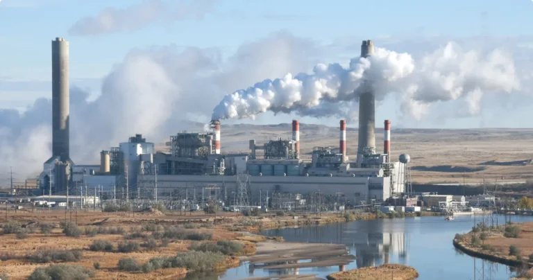
Brine Valorization: Turning Reject Brine Into Salt, Caustic Soda and Acid
Brine Valorization: Turning Reject Brine Into Salt, Caustic Soda and Acid By Sean Alford, Permitting Plus Brine valorization means taking the concentrated reject stream from
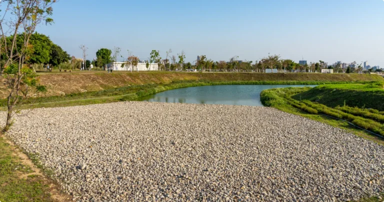
Evaporation Ponds for Brine: How They Work, When They Are Permitted, and the Enclosed Alternative
Evaporation Ponds for Brine: How They Work, When They Are Permitted, and the Enclosed Alternative By Sean Alford, Permitting Plus An evaporation pond is the
Brine Disposal Methods: Ocean Outfall, Injection Wells, Evaporation Ponds and Sewer Discharge Compared
Brine Disposal Methods: Ocean Outfall, Injection Wells, Evaporation Ponds and Sewer Discharge Compared By Sean Alford, Permitting Plus There are five ways to dispose of

Things Every Home Owner Should Do Before Getting a Residential Building Permit
Explore our guide on what to do before getting a residential building permit, ensuring a seamless home renovation journey from planning to completion.